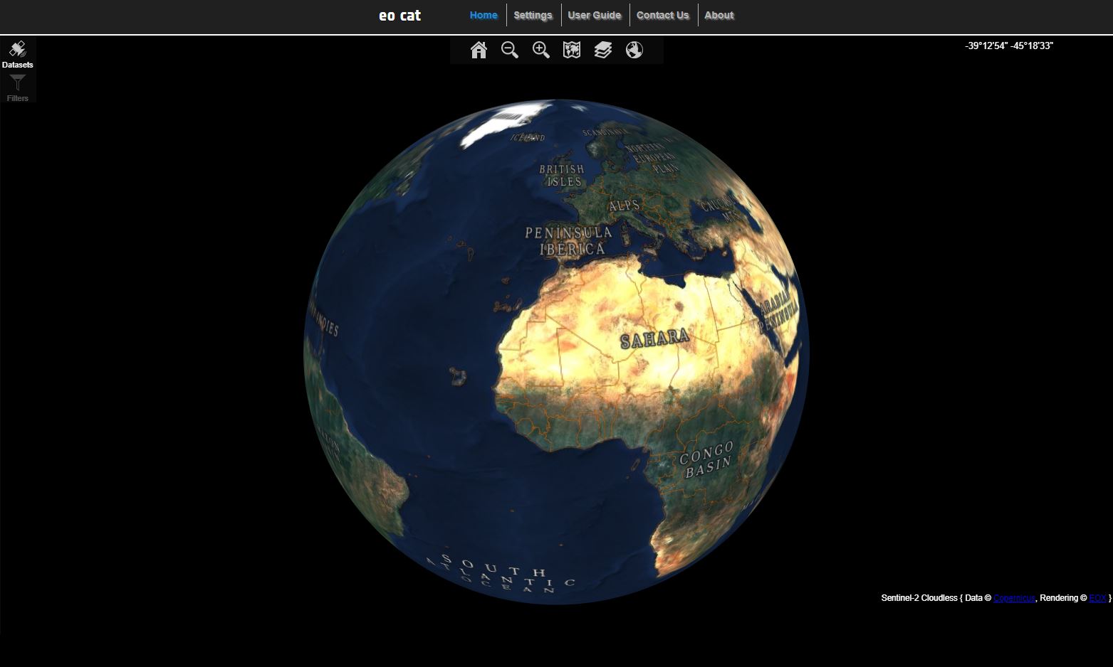
EO-CAT is the EO Catalogue application and is the main visible part of the whole ESA catalog system.
EO-CAT is designed to manage end-user Earth Observation services.
Using EO Catalogue Services, you can browse the metadata and images of Earth Observation data acquired by various satellites.
This user guide provides a description of EO-CAT Earth Observation Catalogue application and how to use it.
The EO-CAT allows user to :
-
Search products in available Datasets:
Discover and select Datasets directly or through filters (mission/sensor/keywords)
Search products in a selected Dataset using various criteria (spatial, temporal, specific)
Advanced search: more affined criteria
-
Explore search results:
List them in a tabular view
Display their footprints in a map
Display their browse images in a map
-
Download products:
Direct download through native browser functionality
-
Explore map functionnality:
Add wms/wmts layer
Display prefered background layer from a list of layers
Display overlay layers
Choose 2D or 3D view
Navigate in the map ...
-
Access to various user related features :
Access the preferences services
The EO-CAT is composed in various tab
Chapter 2, Home - Data Services Area: this is the home page of the application. It describes the functionalities and widgets of Data Services Area where you can submit your search, view your products on the map ...
Chapter 3, Settings: It describes the functionalities and widgets of Your account where you manage your own layers and view your preferences.
User Guide: this is the user guide of the application
Contact Us: this is a button to open the link where you can contact helpdesk
About: this page gives a summary of this project in the world of the European Space Agency
Glossary: lists the most common Earth Observation definitions;
